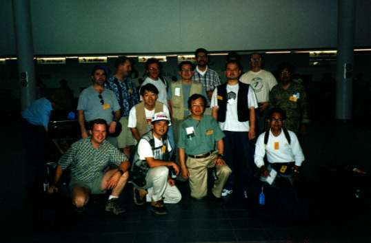
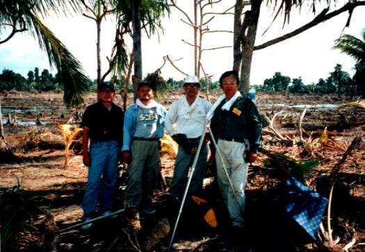
 Group photo of International Tsunami Survey Team.
At Port Moresby airport.
Everyone is lively (at this moment).
1998.7.17 PNG TSUNAMI Survey Photo
Japanese Version HERE
Group photo of International Tsunami Survey Team.
At Port Moresby airport.
Everyone is lively (at this moment).
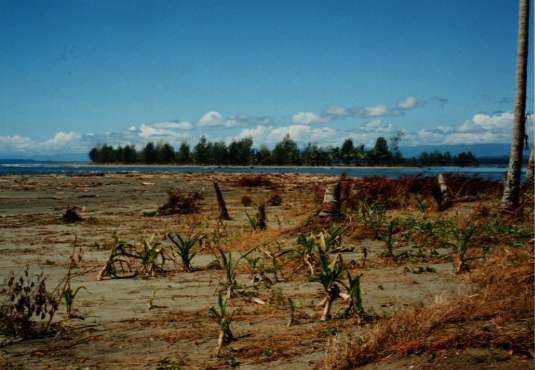 We stood at the west side of inlet of Sissano Lagoon, and viewed the east side of inlet.
Many palm trees were broken, fallen, or washed away by tsunami.
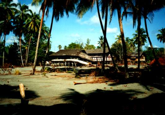
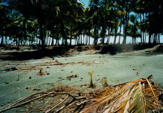 Warapu village.
Erosion due to tsunami.
Similar scenery was found frequently.
 Warapu village.
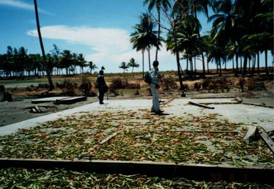
Trace of school.
Only foundation made of concrete remained at the place.
 Malol village.
Half of houses were destoroyed.
 1 to 2 km west from Malol village.
200 m from the coastline.
1 to 2 km west from Malol village.
200 m from the coastline.
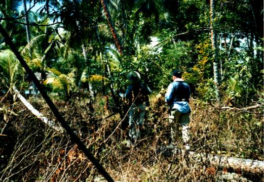
Professor Kawata and Tomo Takahashi entered withered bush.
They were not searching a tsunami trace, but getting wild oranges.
 We stood at the east side of inlet of Sissano Lagoon, and walked toward east.
Left side is Bismarck Sea, right side is Sissano Lagoon.
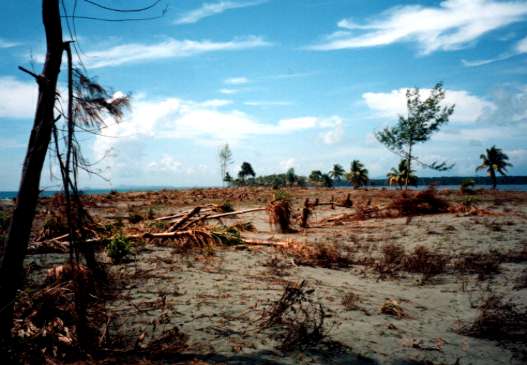
Over the whole width of sand spit, 100 to 200 m, almost all trees were washed away.
We had lost our voice.
'Nothing' area continued above 1 km length.
 Arop village.
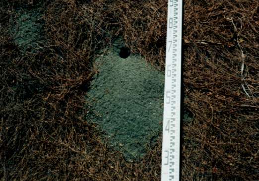
Small trace of liquifaction.
Which might be made by aftershocks.
 2 to 3 km east from Arop village.
We met the team of Professor Matsutomi and Matsuyama.
(They walked toward west from Malol.)
2 to 3 km east from Arop village.
We met the team of Professor Matsutomi and Matsuyama.
(They walked toward west from Malol.)
Trees near coastline were washed away, and caught in jungle overthere.